


Deadline for applications: 24th October
This placement would be to assist the LIFEDeeRiver project in reporting on outcomes following interventions. A senior monitoring officer would work closely with the successful candidate on the following tasks:
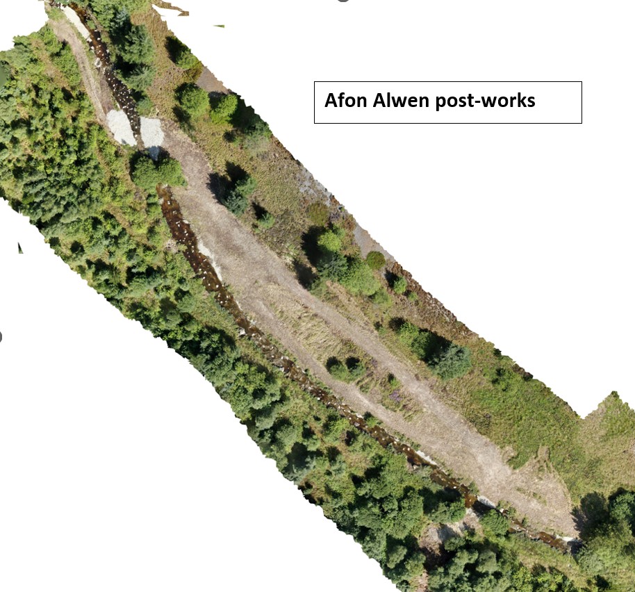
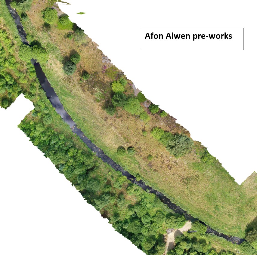
- Use of orthophotos or drone surveys to assess areas of Ranunculion habitat and develop methods to assess changes over time (increase/decrease in quantity and quality).
- Create models to estimate the effectiveness of replacing a forestry ford (a shallow solid crossing across place over a river or stream) with a clear span bridge, in terms of reduction in sediments/nutrients entering the watercourse, and the potential impacts of chemicals from tyres entering the watercourse.
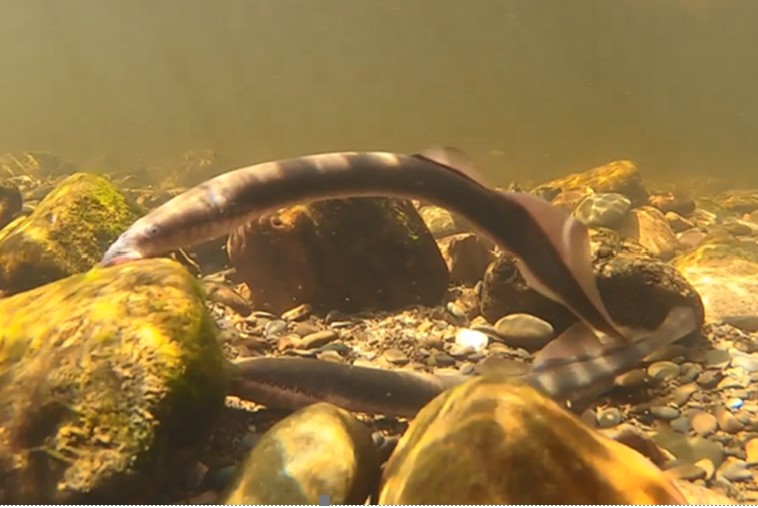
- Assist with the analysis of Adaptive Resolution Imaging Sonar (ARIS) data used to look at upstream migration of lamprey at Chester weir.
The placement provides an opportunity to gain insight into the functioning of Natural Resources Wales and evidenced based decision making within the Welsh environment context. It also gives the opportunity to work alongside the team carrying out the work on the LIFEDeeRiver project and gain valuable experience across all areas (river restoration, land management). It will also give the opportunity to work with other colleagues within NRW.
For further information about the placement and details of how to apply please download the following:
Please complete the appropriate Equal Opportunities form below and submit with your application: