


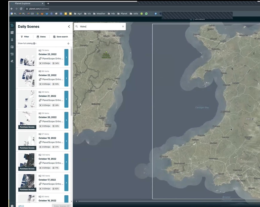
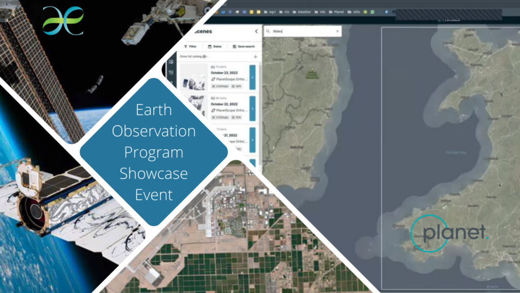
Working in collaboration with Plant Labs, one of the world’s leading providers of satellite imagery, Welsh Government have provided an amazing opportunity for Welsh university researchers to access high resolution, high frequency earth observation data.
There are 2,000 FREE individual licenses available at each of the eight Welsh universities. If you wish to access the data, please liaise with the relevant Point of Contact (PoC) for your institution.
| University | Point of Contact | Email Address |
| Aberystwyth University | Richard Lucas | rml2@aber.ac.uk |
| Bangor University | Marielle Smith | marielle.smith@bangor.ac.uk |
| Cardiff University | Andrew Emery | emeryad@cardiff.ac.uk |
| Cardiff Metropolitan University | Catherine Tryfona | ctryfona@cardiffmet.ac.uk |
| University of South Wales | Carys Evans | carys.evans@southwales.ac.uk |
| Swansea University | Jackie Rosette | j.a.rosette@swansea.ac.uk |
| University Wales Trinity St David | Mike Goodfellow-Smith | m.gsmith@uwtsd.ac.uk |
| Wrexham Glyndwr University | David Sprake | d.sprake@glyndwr.ac.uk |
Events
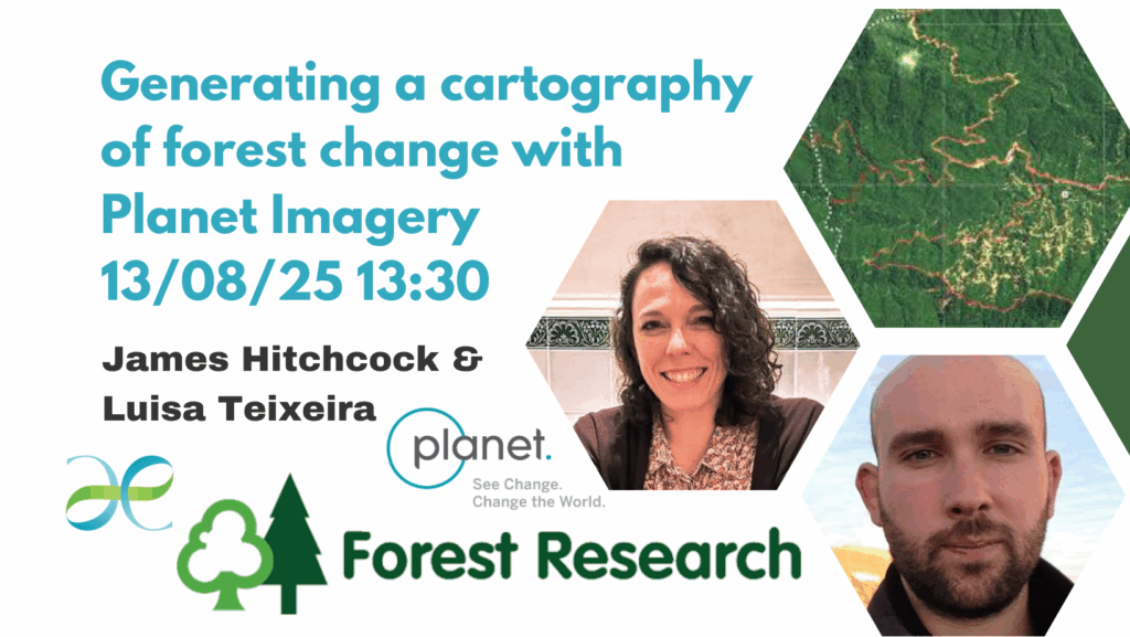
In this presentation, Luisa Teixeira from Planet provides an overview of the Welsh Government Earth Observation Program for Welsh Universities, in partnership with Planet and examples of how data is being used in research.
James Hitchcock, from Forest Research describes his use of the Planet data, and multispectral imagery in particular, to help determine changes in tree canopy structure, which then aids those managing forests.
Watch Recording of ‘Generating a cartography of forest change with Planet Imagery’ Now
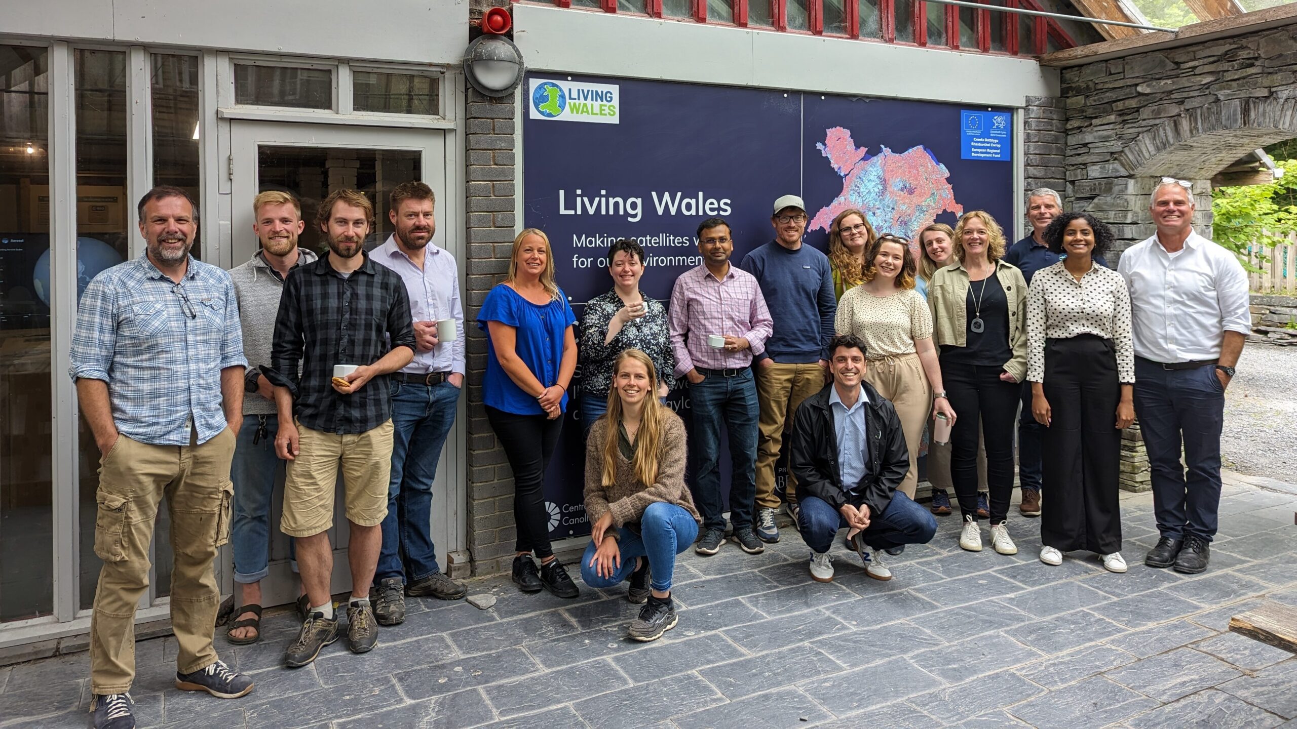
We previously hosted a face-to-face workshop on 08/07/24 at the Centre for Alternative Technology.
Help and Guidance
Planet Labs, in conjunction with Environment Platform Wales, have presented a series of training webinars for end-users. Recordings of these sessions can be viewed by clicking on the relevant link below:
Session 1: Basic Intro to Welsh Government’s Earth Observation Data Opportunity (9/6/22)
Session 2: Introduction to Planet Lab Data (10/10/22)
Session 3: Integration of Planet Lab Data with GIS (24/10/22)
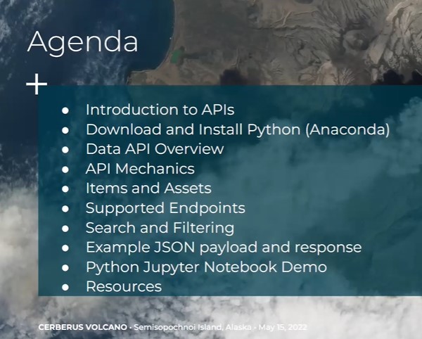
Session 4: Using Planet’s Data API (28/10/22)
Session 5: Integration of Planet Lab Data with Google Earth Engine
Session 6: Using Planets APIs (28/3/23)
Session 7: Downloading of Planet’s Basemaps over an Area of Interest (AOI) (12/4/23)
Further support available from Plant Lab: Welsh Government Earth Observation Programme (planet.com)