


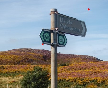
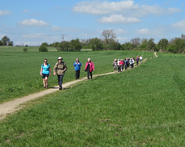

There are currently a number of statutory maps covering public access to outdoor spaces in Wales, including the definitive maps of public rights of way (PRoW) maintained by local authorities and the map of open access land that Natural Resources Wales is required to produce under the Countryside and Rights of Way (CRoW) Act.
As required by legislation, these have traditionally been hard copy maps held locally and made available to the public through authority offices. While a number of authorities have put their maps online, this has been done on an individual authority basis using a range of different software systems.
In keeping with the Welsh Government’s commitment to improve access to services through digital delivery, we are examining the merits of creating a single digital map of public access in Wales. Such a map is expected to make use of Welsh Government’s GIS platform, DataMapWales.
The purpose of this role is to support the development of a universal schema for PRoW data that all access authorities in Wales could use. It is anticipated that this schema could be used to develop a single digital map of outdoor public access in Wales hosted by DataMapWales.
Currently this data is held in different systems resulting in different and multiple approaches to publishing the information in digital formats. In addition to working with the DLCA team, the post-holder will work with DataMapWales, possibly using Feature Manipulation Engine (FME) software, to support the development of a minimum viable schema. Additional data could be added post-analysis by cross-referencing with other layers to bring data that may be useful to an end-user. The process will be iterative, with frequent meetings with a working group of stakeholders to ensure the schema meets their needs.
For further information about the role and details of how to apply please download the following document: