8th June 2023 – Centre for Alternative Technology
About the Event
This workshop will look at how earth observation data has been used across Welsh Universities and the techniques to improve research. This event has now concluded.
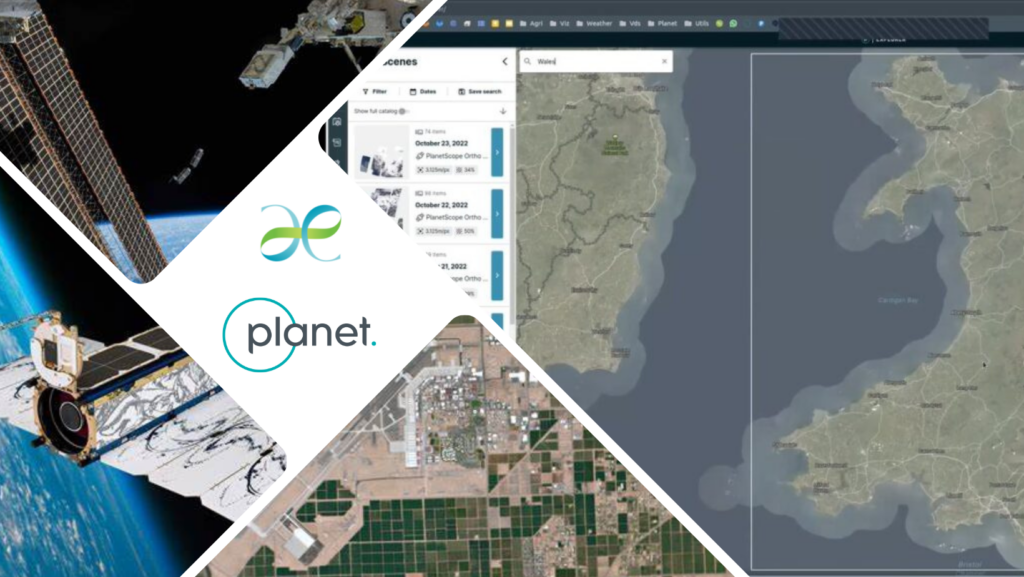
Working in collaboration with Plant Labs, one of the world’s leading providers of satellite imagery, the Welsh Government have provided an opportunity for Welsh university researchers to access high resolution, high frequency earth observation data. Each of the eight Welsh universities has access to 100 individual researcher contracts.
This event aims to showcase ways in which the data has been used and demonstrate techniques to make better use of the data.
The event will cover:
– Environmental descriptors
– Land cover and habitat mapping
– Change detection, description and monitoring
– Ground validation
Attendees
Andy Schofield – Environment Platform Wales – Host
With a career spanning over 30 years, the majority of which was spent in operational, policy and strategic roles for NRW and its predecessor organisations, Andy has extensive experience of the environmental issues throughout Wales and the challenges faced by those seeking to address them. Following a period working on the Swansea Bay Tidal Lagoon project Andy has most recently managed the GW4 Water Security Alliance, facilitating research collaborations across Bath, Bristol, Cardiff and Exeter universities.

Planet Labs
Marc Bernabeu Peña – Planet
B. Sc. in Aeronautical Engineering-Airworthiness , M.Sc. Aerospace- Space Engineering and post-graduate in remote sensing.
I started my professional career as a consultant for technology transfer of space life support systems. I worked as technical sales engineer and technical support manager for nano-satellite’s solutions. Currently working for Planet Labs as a Sr. Customer Success Manager focusing on helping customers within the EMEA region and different verticals to gain value from our remote sensing data set.

Amber Swan – Planet
8.Brief Bio (for Introductions)Multi Line Text.
From Planet Labs, the project manager responsible for Professional Services project delivery in EMEA and APJ.
Aberystwyth University
Richard Lucas – Aberystwyth University – Host
Professor Richard Lucas holds a Sêr Cymru Research Chair within the Earth Observation and Ecosystem Dynamics (EOED) Research Group (RG), Department of Geography and Earth Sciences (DGES), Aberystwyth University. He has expertise in quantifying and understanding the response of terrestrial and coastal ecosystems and environments to change (including that associated with climatic variation), through integration of Earth observation data from various sources. He has also developed innovative methods for extracting relevant information on terrestrial ecosystems at scales ranging from individual trees to the global. He currently leads the Living Wales project which is facilitating the development of national land cover monitoring to support national and international conservation and sustainable use of environments.
Staff Profiles : Department of Geography & Earth Sciences , Aberystwyth University
Matej Roman – Aberystwyth University
PhD in Physical Geography at the Masaryk University, Brno, Czechia. My main interests include the Quaternary climatic and environmental changes of both Polar regions. More specifically, researching the glacially-transported erratic boulders and lake sediment records from Antarctica.
Quaternary and current environmental changes in Polar regions
My research focuses on determining the major geomorphic processes, establishing rates of change and pathways of mass and energy transport, and comparing these between the Arctic and Antarctic. The methods include mapping of geomorphological features by remote sensing, including field UAV surveys and satellite imagery, and determining the past and present processes shaping the relief.

Huw Morgan – Aberystwyth University
Head of Solar System Physics, Physics Director of Research. Observations & analysis of the Sun’s atmosphere and solar wind, operational space weather forecasting, instrumentation for solar observations.
https://www.aber.ac.uk/en/phys/staff-profiles/listing/profile/hum2/

Cardiff University
Michael Packianather – Cardiff University
Dr Michael Packianather is a Reader at the School of Engineering at Cardiff University. His research interest includes Industry 4.0, Data Mining and Machine Learning, Deep Neural Networks and AI, Robotics and Human-Robot Collaboration, and Intelligent Optimization.
AI and Machine Learning applied to Advanced Manufacturing
This research focuses on developing intelligent optimization techniques and deep learning methods for enhancing the performance of deep learning networks for applications in advanced manufacturing.
Mike Shewring – Cardiff University
Mike is a conservation scientist at RSPB, associate at Cardiff University and part time peatland ecologist with the HLF funded Lost Peatlands project. He has expertise in insectivorous aerial predators (Avian and mammal), coastal birds, and the impacts of development and land-use on ecosystems. He has a working interest in data analysis and statistics, using ecological models to address applied issues in industry, land management and conservation. His current research focusses on European Nightjar and their interactions with wind energy facilities and forestry management.
Mapping moorland prescribed burning in Great Britain
Using Sentinel-2 and planet data and deep learning to map moorland burning. Sentinel-2 data has been used to train a deep learning model to detect burnt pixels. Planet data has been used to create test data and validate the predictions.


Cardiff Metropolitan University
Priyatharshini Rajaram – Cardiff Met
I am Dr.Priyatharshini Rajaram having more than 20 years’ of experience in teaching in the field of computer science and currently working as lecturer in School of Technologies, Cardiff Metropolitan University, Wales, UK. My area of expertise is in the field of Data science and Machine learning. My research interests focus towards applying AI technologies in health care and particularly in the field of Medical Image Analysis for early diagnostics. Extraction of meaningful patterns from Medical Images such as CT, MRI, ultrasound etc has been successfully carried out in my research works.

Angesh Anupam – Cardiff Met
Dr Angesh Anupam is a data scientist based in Cardiff, United Kingdom. He is employed at Cardiff Metropolitan University, as the Programme Director in Data Science (PG). Along with programme management, he is actively involved in lecturing and research in data science. Dr Anupam’s area of interests include nonlinear dynamical systems modelling using machine learning techniques, machine learning applications in sustainable healthcare, environment, food, and infrastructure.

Swansea University
Jonathan Walker – Swansea University
Jonathan Walker is a Research Officer in the Department of Biosciences, Swansea University.
University of South Wales
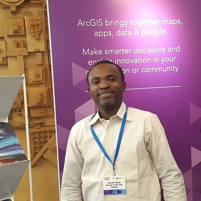
Mitchell Eboigbe – University of South Wales
Dr. Mitchell Eboigbe did his Ph.D. in Low-Cost, Close-Range Digital Photogrammetry for Coastal Cliff Deformation and Beach Monitoring. Mitchell is the Principal Partner in Geospatial Environmental Solutions a start-up research company in the University of South Wales. Geospatial Environmental Solutions’ focus is to implement continuous low-cost monitoring strategies for 0.5 cm to 2 cm spatial accuracy with high spectral resolution digital images for coastal monitoring and Invasive Plant Species.
Detection of structural deformation, quantification of eroded surfaces, risk assessment and cliff erosion prediction and monitoring of Invasive Plant Species using Digital Photogrammetry and Remote Sensing Techniques
Geospatial Environmental Solutions researches contemporary, low-cost, and accurate techniques on the use of drones and other close-range platforms in the monitoring of coastal areas, coastal cliff deformation and invasive plant species monitoring.
PhD student: Mitchell Eboigbe | University of South Wales
Mark Ware – University of South Wales
Associate Professor (GIS) – algorithms, data structures and models, AI and mapping, ethical surveillance, environmental change detection.
Using UAV to collect land cover data for a variety of environmental applications – interested in all parts of the pipeline (data gathering, data modelling and data analysis).
Mark Ware – Faculty of Computing, Engineering and Science, University of South Wales
Niamh Breslin – University of South Wales
Originally from Derry, NI, I came to Wales in 2009 to study Geography at what was then University of Glamorgan, now University of South Wales. I also achieved my Masters degree in Environmental Conservation Management at this institution, and soon after began teaching at USW in an hourly paid capacity. I accepted a permanent lecturing role in December 2020. My teaching focus is on the use of geospatial data and technologies, and application of cartographic principles, to create maps and other geovisualisations to explore contemporary topics – primarily in wildlife conservation and environmental protection, and recently also in public health and epidemiology.


David Kidner – University of South Wales
Dr David Kidner has over 35 years experience in the field of Geographical Information Systems, Digital Surface Modelling, and more recently drone surveying. Dave is based in the Informatics group at the University of South Wales in Treforest.

Bangor University
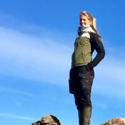
Cecilie Engell Kjoeller – Bangor University
MSc Student of Sustainable Forest and Nature Management -SUFONAMA at Copenhagen University and Bangor University
I’m a MSc student with a specialisation in conservation science and biodiversity. I have a background with practical forest and nature management from Denmark, and as a postgraduate currently I am seeking to combine the practical field-based side with the more academic research approaches by acquiring more academics skills.
Vegetation and habitat monitoring combined with patterns of grazing herbivores and wildlife population
Jwan Aldoski – Bangor University
I am Dr. Jwan Aldoski from Iraq. I got Ph.D and MSc in remote sensing from Universiti Putra Malaysia. I also got MBA in Environmental Management from Bangor University. I love everything about remote sensing and land cover mapping.
Remote Sensing Data are more than ordinary images they can be anything***
Remote Sensing Ground Based Data Acquisition (GPS/Differential GPS, UAV ,Field Spectroradiometer Data)**** Aerial And Satellite Data Pre-processing, Classification, Digitization ,Monitoring and Temporal Change Detection, Feature Extraction, Thematic Map Production and Automated Analysis


Stefan Rijnbeek – Bangor University


Catrin Williams – Bangor University

Other Representatives
Laurel Carrington
Enthusiastic and personable Geography graduate who has a keen interest in land use management and water quality.
I work as Nutrient Management Officer within the Forward Planning team. I am the specialist lead on nutrient management and water quality within the Council.
Nutrient Management
Land use characteristics to decipher appropriate locations for nutrient mitigation strategies.
Alice Whittle – Lancaster University
Alice Whittle is currently a research tech at Lancaster university looking into the effects of agricultural expansion on fresh water ecology in the Amazon. She will present on her MRes research which look into the application of high resolution drone for monitoring peatland restoration.
Effect of land cover change on freshwater biodiversity in the Amazon
How agricultural expansion has impacted small stream biodiversity in the Amazon, my role is to do remote sensing and GIS mapping of landcover change using earth observations. I am also writing up a research paper from my MRes where I look into the application of UAV for monitor peat restoration.


