2024-5 Insights Wales / Cipolwg Cymru Recordings – epwales.org.uk


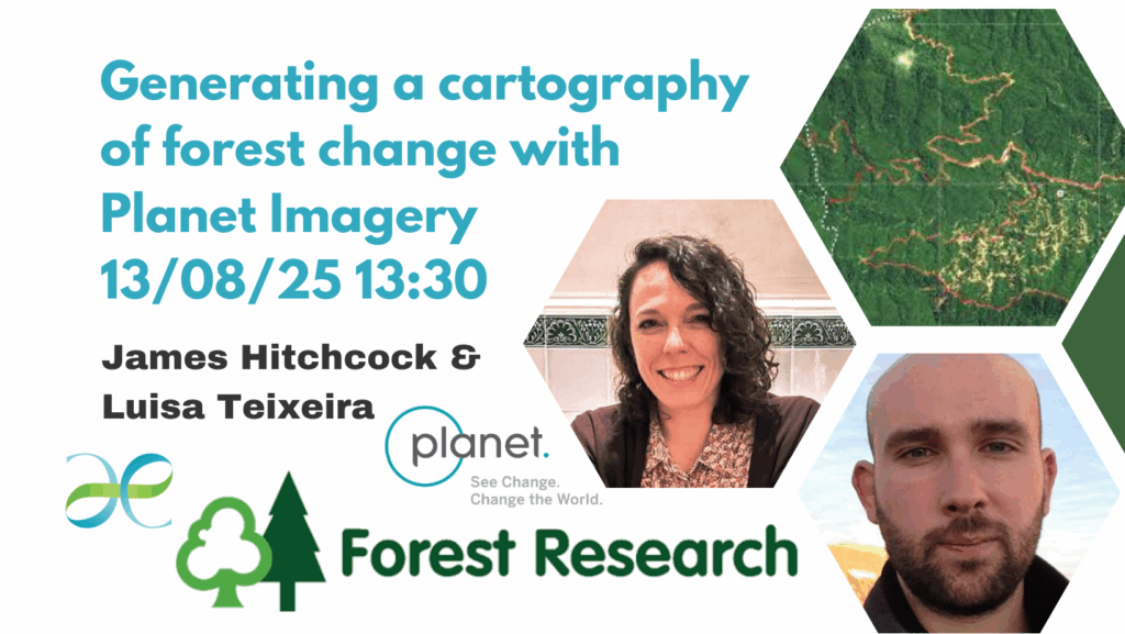
This talk will provide an overview of the Welsh Government Earth Observation Program for Welsh Universities, in partnership with Planet and examples of how data is being used in research.
Working in collaboration with Plant Labs, one of the world’s leading providers of satellite imagery, Welsh Government have provided an amazing opportunity for Welsh university researchers to access high resolution, high frequency earth observation data. There are 2,000 FREE individual licenses available at each of the eight Welsh universities.
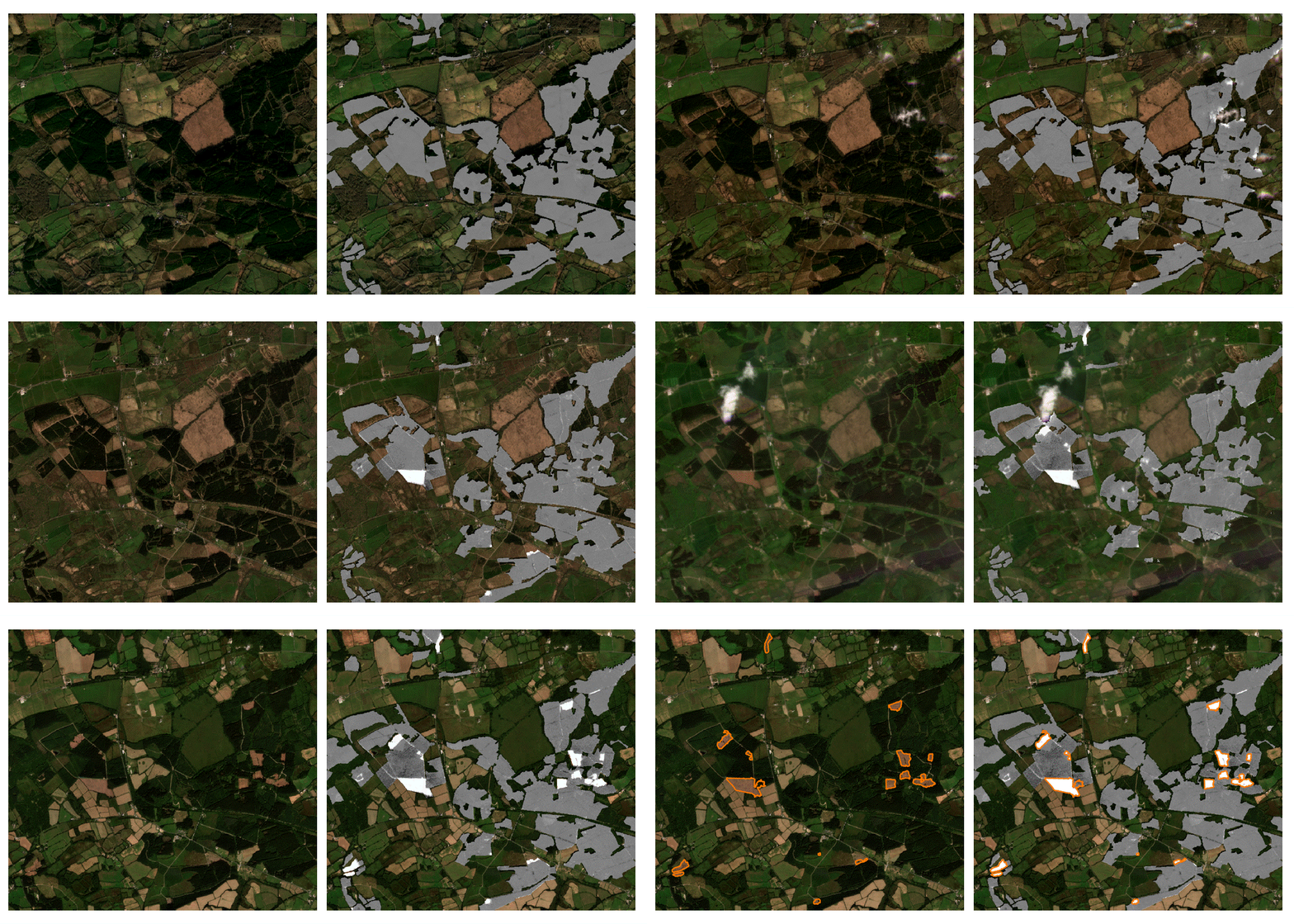
James Hitchcock will describe a methodology for detecting changes in dense time series of multispectral satellite imagery. Detecting anomalous change is complicated by the “confounding” signals in these datasets e.g. variations in illumination and atmospheric transparency, vegetation phenology etc. Fortunately, these confounding signals within a single pixel time series are typically strongly correlated (both spatially and temporally) with other nearby pixel time series. Their change detection methodology models this shared structure, such that only variation within a pixel time series that can’t be explained by some combination of its neighbours is detected. This can be achieved with a computationally inexpensive linear regression model, allowing us to deploy this approach on ~4m resolution pixel datasets covering all of England on modest hardware.

About the Speakers

Luisa Teixeira is a Project and Product Manager with proven experience in translating business needs into technical solutions. She is skilled in Environmental Sciences, Natural Resource Management, Sustainability, GIS, Remote Sensing, Data and Data Visualization, Software Development, particularly in the Geospatial domain, Exploring Systems Thinking, Behavioral Science and Communication as levers for Climate Action. She is a peer-reviewed author and reviewer on Earth Observation topics and has a strong working background with commercial, governmental and civil society actors.

James Hitchcock from Forest Research will present on “Generating a cartography of forest change with Planet imagery”. James is a Remote Sensing scientist at Forest Research, who is using near-daily PlanetScope imagery to help inform Woodland Officers in England on forest management practices which result in changes to the tree canopy.
Unlocking the Power of High-Resolution Satellite Data: Free Access for Expert Users and Researchers
The Welsh Government is extending a unique opportunity to expert users and academic researchers, granting free access to high-resolution satellite data. This initiative aims to unleash the full potential of this invaluable resource, inviting exploration across a spectrum of use cases. The Welsh Government encourages ongoing collaboration with researchers to gather feedback and identify diverse applications, contributing to a robust long-term strategy for Earth Observation in Wales.
What Data Can You Access?


PlanetScope All-Time Access + Download
RapidEye Archive All-Time Access + Download


SkySat Archive Data older than 6 months
Automated and Surface Reflectance Basemaps: Streaming and Download
All data is available over a Global AOI.
How to Access the Data?
There are multiple avenues to gain access to this wealth of data:
- Send an email to support@planet.com with the subject line “Welsh Gov access request” and including your name, university affiliation, and a brief description of your intended use of the data or your University Point of Contact.
- Use the form available in Environment Platform Wales (EPW)’s Welsh Government Earth Observation Program for Welsh Universities
Where to Learn More?
For further information, please visit Planet University Welsh Universities Page, where you can find:
- Training Courses to help you get started using Planet data, including on how to use Planet Plugins (ArcGIS, QGIS and Google Earth Engine) and APIs to search, view and download Planet Imagery
- Webinar recordings from the series co-hosted with Environment Platform Wales
Community Forum group dedicated and accessible only for members of Welsh Universities


